Precision Surveying Solutions: Leading the Way in Massachusetts Land Surveying Expertise
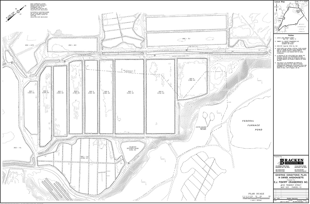
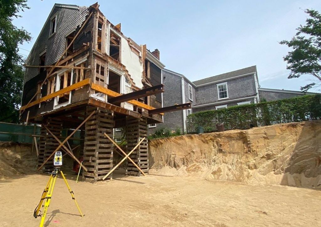
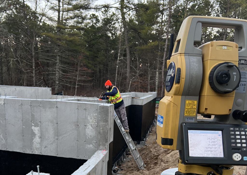
Bracken Engineering specializes in all aspects of land surveying. Our multiple Massachusetts licensed surveyors, supported by dedicated field crews and office staff provide superior service. Our field crews utilize the latest GPS, robotic, and drone technology to complete field surveys efficiently and with the utmost accuracy. Advanced tools such as a drone and ground penetrating radar have expanded our capabilities to include photogrammetric surveys and utility locating. Our firm offers, but is not limited to, the following specialties:
- Property and Boundary Surveys
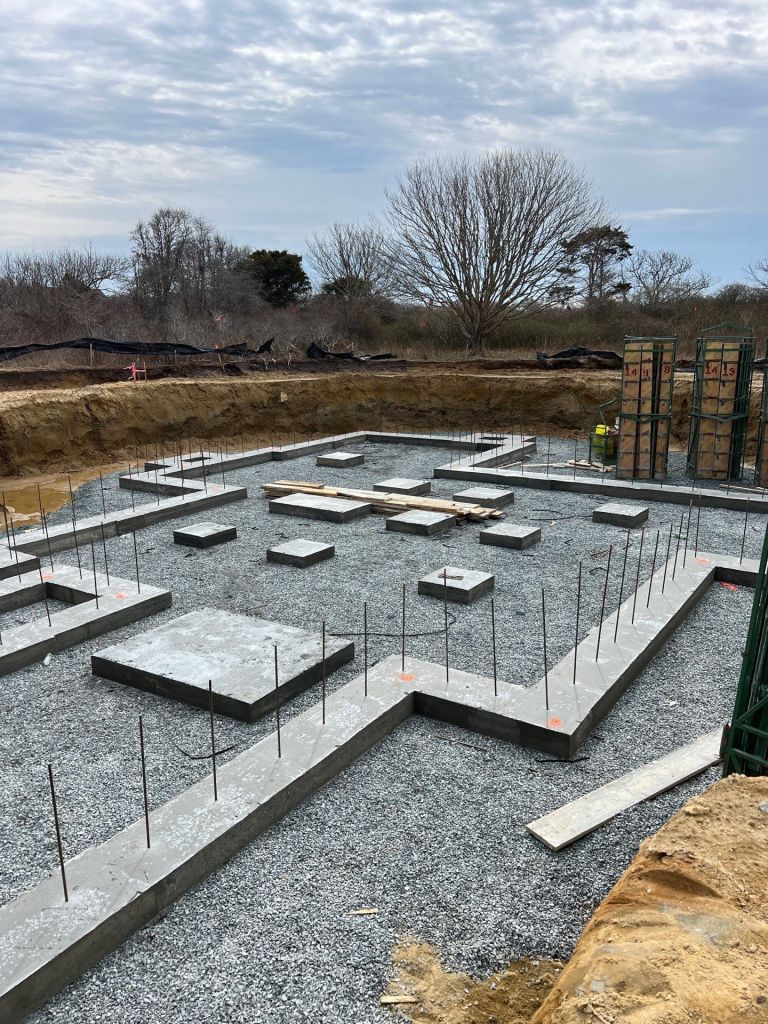
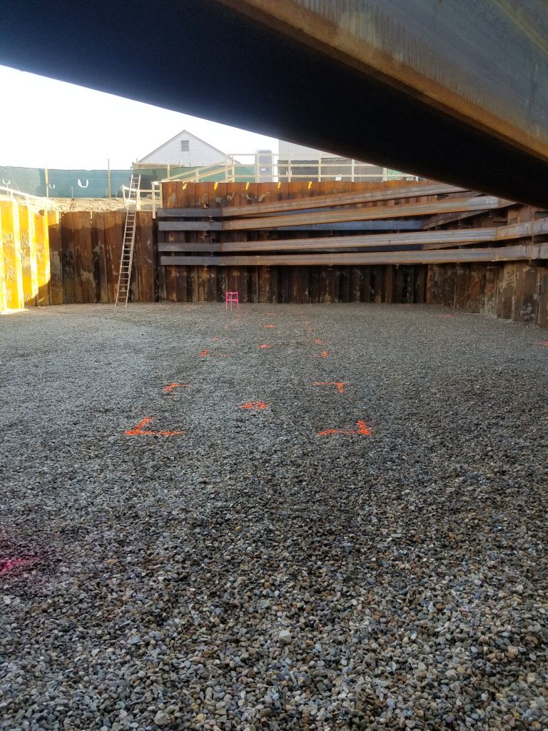
- Construction Layout and Inspections
- Land Court surveys
- ALTA surveys
- Topographic Surveys
- Aerial Photogrammetry
- Aerial Photography
- Ground Penetrating Radar Services (GPR)
- Elevation Certificates
- Condominium measurements and documentation
- FEMA Flood Plain Analysis
At Bracken Engineering, we take pride in our unwavering commitment to excellence in land surveying. Our team’s dedication to utilizing cutting-edge technology ensures that every project is completed with precision and efficiency. Whether it’s property boundary surveys, construction layout inspections, or aerial photogrammetry, we offer a comprehensive range of services to meet your needs. With our expertise and advanced tools, including drones and ground-penetrating radar, we deliver accurate results that exceed expectations. Trust Bracken Engineering for all your land surveying requirements, and let us be your partner in achieving success.


